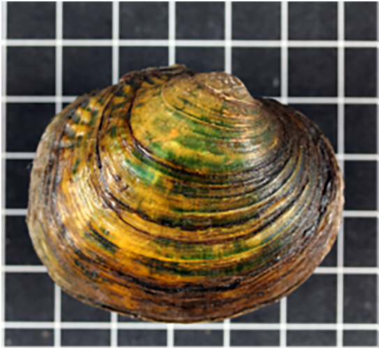
A Guide for Conservation
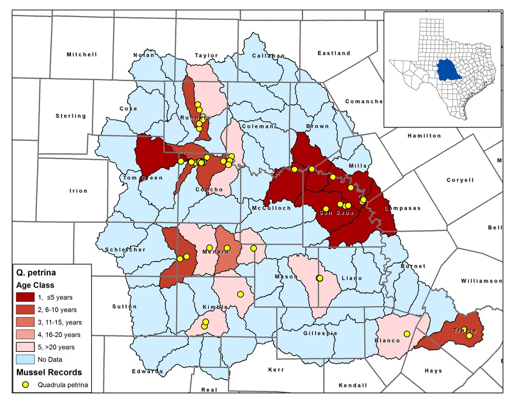
Conservation status assessment maps are a way to efficiently determine the status of a given species and have been used in conservation assessments by U.S. Fish & Wildlife Service for rare aquatic species. In Texas, range maps are available for the 15 state-listed mussel species, but the spatial scale of those maps are either too coarse or lack current survey information, which limits their use for supporting status assessments. To help resolve these issues, we are using the Conservation Status Map package by the Georgia Department of Natural Resources combined with our mussel database (which has more than 5,000 records) to develop status assessment maps for mussel species of concern in central and west Texas.
Conservation status assessment maps are generated using species occurrence data. A simple GIS algorithm takes this basic data, scales it up to a management unit (e.g. a watershed), and categorizes the management unit based on the date of the most recent occurrence. The resulting map is useful for identifying range size, survey needs, and high priority areas for conservation. Our goal is to provide these maps to the Texas Parks and Wildlife Department and U.S. Fish and Wildlife Service to support listing efforts, ongoing conservation activities, and restoration projects.